Travel to Stanley

From Boise:
Take ID-55 to Banks. Turn right on Banks-Lowman Highway ID-17 going East to ID-21. Turn left on ID-21 to Stanley. Alternate Route: Take ID-21 all the way, passing through historic Idaho City and Lowman. Approximately 130 miles.

From Salt Lake City:
Take I-15 North to I-84 West to US-93 North at Twin Falls, which changes to ID-75 at Shoshone, through Ketchum to Stanley. Alternate Route: Take I-15 North to US-26 West at Blackfoot, then US-93 North at Arco to Challis. Turn left on ID-75 at Challis to Stanley. Approximately 380 miles to Stanley.

From Sun Valley:
Take ID-75 for 60 miles to Stanley.
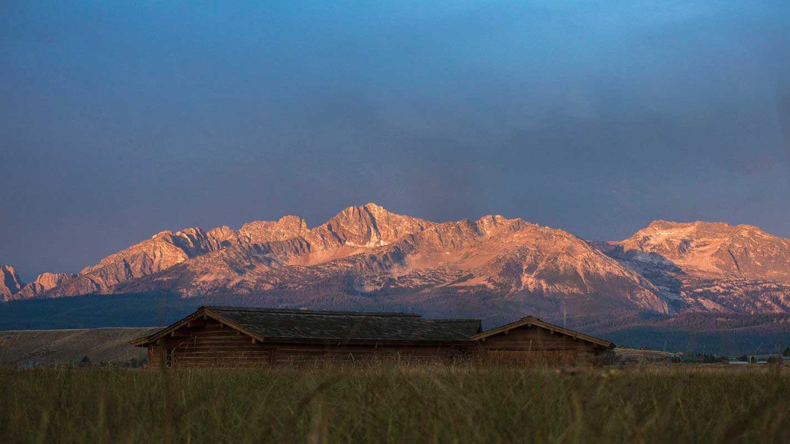
No matter how you slice it, getting to Stanley is a reward in and of itself, the drive worthy of your bucket list. Connected in all three directions by recognized scenic byways: the Ponderosa Pine, Salmon River and Sawooth Scenic Byways to be precise the natural beauty is so abundant along the way that the kids screaming or engine steaming won’t even phase you.
Expect a lot of twists and turns, a few mountain passes, beautiful rivers, timbered corridors, and alpine vistas on perfectly maintained highways as you head into the majesty of the Sawtooth Mountains and the Stanley Basin.
Stanley sits 3 hours northeast of Boise at the junction of Highway 21 and Highway 75; one hour north of Sun Valley and 2.5 hours north of Twin Falls on Highway 75; one hour south of Challis on Highway 75.
We are also served by private aviation charter flights into Stanley. The area’s other nearest airports are Sun Valley (1 hour), Twin Falls (2.5 hours) and Boise (3 hours).
MAPS
Use this Google map to get your head around where you are going!
Or feel free to contact us via email at information@stanleycc.org and have an Idaho Highway Map mailed to you the good old fashioned way.


