Challenging, but Worth It: The Top 8 Hikes in the Sawtooths That Lead to Pristine Alpine Lakes
Photo courtesy of Idaho Tourism
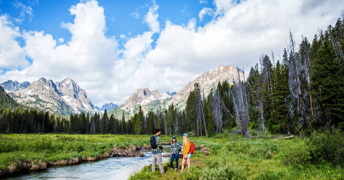
Idaho’s Sawtooth Mountains are one of the most impressive ranges in the United States. Seemingly springing straight up out of the ground, the Sawtooths set an incredible backdrop for the small town of Stanley. Just looking at them from a distance is enough for many people, but exploring the range on foot opens up a world of opportunity for adventurous hikers.
Thompson Peak is the highest point at 10,751 feet, but 56 other peaks top the 10,000-foot mark as well. Peak baggers can spend years chasing down the challenging summits here. If you are looking for something on the easy-to-moderate end of the spectrum, numerous trails will lead you to backcountry lakes and beautiful vistas. Just south of Stanley, the Redfish Lake Lodge offers a shuttle service across the lake, cutting miles off numerous hikes by allowing you to begin at the main trailhead. If you’re looking to explore the region, these eight hikes are a great way to start. All feature an alpine lake—and all of them will wow you with the majestic surroundings of the Sawtooth Range.
1. Bridal Veil Falls
Miles: 7.9 round trip Difficulty: Moderate Directions: Take Stanley Lake Road to Stanley Lake. Drive past the Lakeview Campground to reach the trail. There is a sign for Bridal Veil Falls.
This beautiful hike can be easily accessed from a trailhead on Stanley Lake. A Beaver dam has flooded a portion of the trailhead and parking area, but it’s still passable through the ankle-deep water. Expect 350 feet of elevation gain with inclines leading through a mix of dense forests and meadows—plus one notable creek crossing: Stanley Lake Creek is wide and shallow in the summer months, making wading reasonable. But the late spring can deliver higher flows from snowmelt runoff that make a more difficult crossing. After the creek crossing, the trail continues climbing to the waterfall. Turn around at the creek to avoid the crossing and complete a moderate hike, or you can forge ahead for a more difficult hike that affords views of the waterfall.
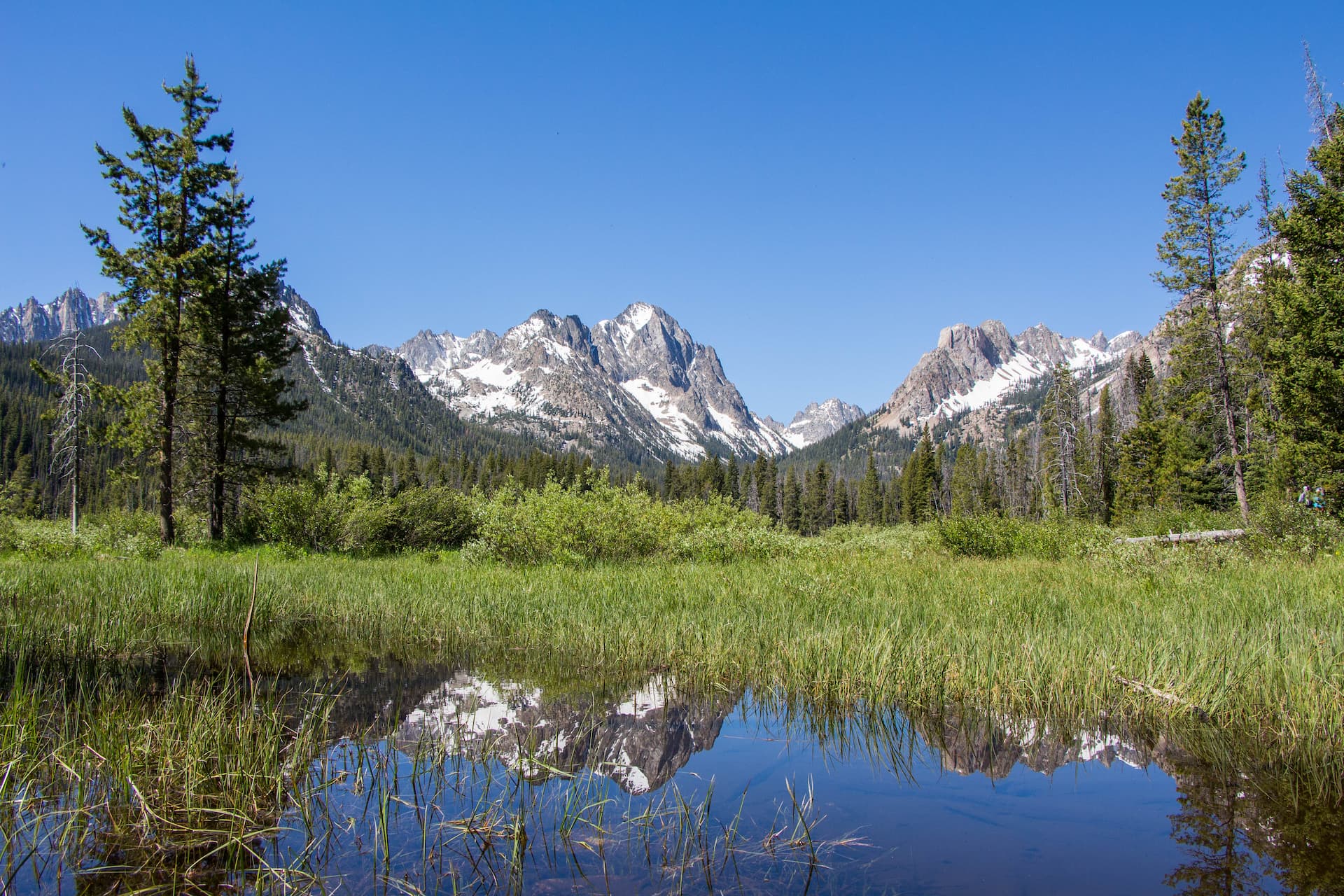
The hike to Sawtooth Lake isn’t technical, but it does include several steep climbs. Photo courtesy of Idaho Tourism
2. Sawtooth Lake
Miles: 10 round trip Difficulty: Difficult Directions: If you can choose only one hike to do in the region, this is one the one. It captures a little bit of everything, and it’s an easy 5.5-mile drive from town to the start at the Iron Creek Trailhead.
The first few miles are relatively flat as you catch repeated views of Iron Creek. The trail then opens up to reveal the towering mountains above the meadows, a great spot for pictures. Continue following the signs to the switchbacks, where the more serious climbing begins. About four miles from the trailhead, you’ll find a sign that points you left to Alpine Lake, which features a camping area and is a great spot for lunch. But you’ll also get amazing views of Alpine Lake from the main trail, so you don’t need to take the detour unless you’re planning on staying there. The last mile of the climb is the toughest, but keep going, the views of Sawtooth Lake are worth it. Chances are you’ll find some snow on the ground, even in the summer months, and you’ll pass a small lake with creeks flowing into it: Keep going, as Sawtooth Lake is still to come. It’s not much further until you reach it, and you’ll be overwhelmed by its size—nearly a mile long and half a mile wide. The lake sits at 8,435 feet, and as you look to the south, you’ll see Mt. Regan rising to 10,190 feet. Visit the southern end of the lake to explore Baron Creek, or hike up the ridge to the northwest of the lake for 360-degree views and an unforgettable look at Observation Peak.
3. Saddleback Lakes
Miles: 7 miles round trip Difficulty: Moderate Directions: You can start hiking at the Redfish Lake Lodge but taking the Ferry cuts around 7 miles off your round-trip total.
Take the ferry to the Redfish Lake Transfer Camp then start hiking the Redfish Lake Creek Trail. Head up the trail for a few miles until you hit a junction for Elephants Perch and the creek crossing (walk over the logs across the creek). Take the junction and follow the unofficial trail (marked by cairns) until you reach the Saddleback Lakes. The lakes have good camping areas. Climbers often camp here while preparing to summit Elephants Perch.
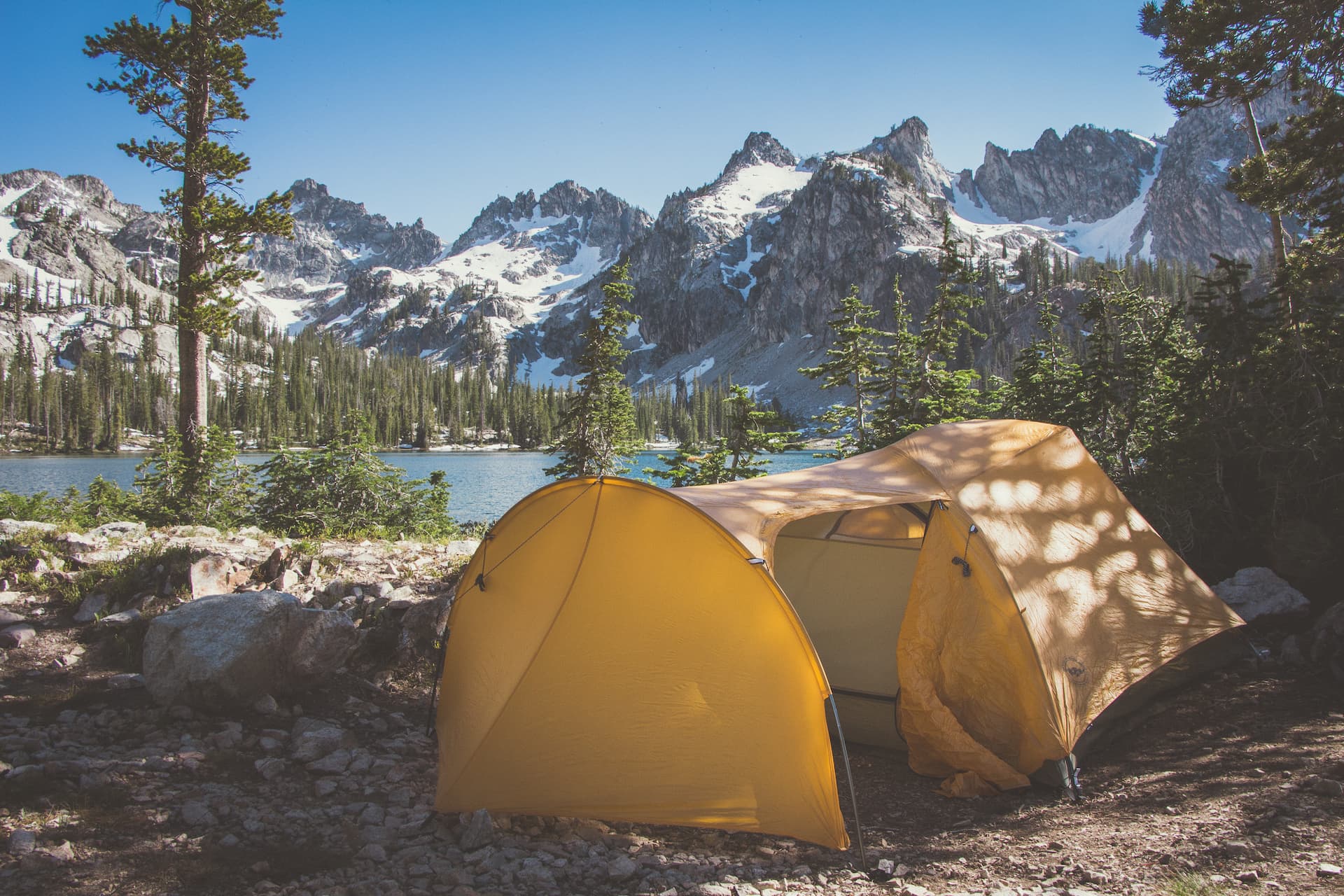
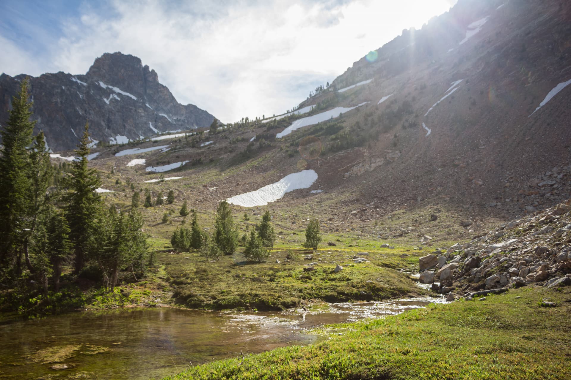
Many of the trails in the region can be done as day hikes, but there are options if you want to create a multi-day backpacking trip. Photo courtesy of Idaho Tourism
4. Bench Lakes
Miles: 8-12 depending on which lake Difficulty: Moderate to difficult Directions: You can either start at the Redfish Lake Lodge and Fishhook Creek Trailhead or take the ferry service across the lake. Out and back from the Fishhook Creek Trailhead is an option. The ferry makes a one-way trip possible.
Starting from the Fishhook Trailhead, follow the trail until you reach a split. Take the left fork for the Bench Lakes. The trail crosses a bridge and follows Redfish Lake until the next split. Take the right fork and hike another mile until you reach the first bench lake. There are five total lakes but only the first and second have trail access. Each lake is progressively more scenic with clean, turquoise waters and big mountain views. The extra effort to reach each lake is well worth the effort. Follow the ridge trail to the end of Redfish Lake and catch the ferry back to the lodge—or hike back the way you came.
5. Alice Lake and the Toxaway Loop
Miles: 11 miles in and out or 25 miles on the loop Difficulty: Moderate to difficult Directions: 18 miles south of Stanley on Highway 75, take the Pettit Lake turn. A short drive on a dirt road leads you to the lake and the Tin Cup Trailhead.
This is a great option for flexibility and multiple route options that all begin and end at the same trailhead. Start hiking from the trailhead and take the left split for a day trip to Alice Lake. You will have views of Idaho’s El Capitan peak on the way to the lake. Backpackers can opt to continue toward Twin Lakes where there are nice campsites and fishing for trout. It’s just under 6 miles to Twin Lakes and another mile to Alice Lake. Head to the trail split just before twin lakes and take the fork for Toxaway Lake. It’s a subtle turn and you will have to cross over the pass then drop into Toxaway Lake. Keep on the trail through the inclines, declines, and numerous switchbacks. This section has several elevation changes. You will eventually cross side trails to Edith and Imogene Lakes. Both offer good camping. Or continue another 4-plus miles to Farley Lake on trail 96 for a solid 15-mile day. From Farley, it’s less than five miles back to the trailhead.
_ Tip: You can summit El Capitan and Snowyside Peak from Alice Lake. Numerous peak hikes make great side trips for ambitious hikers on the Toxaway Loop. These are intensive additions to the loop and are best for experienced and well-conditioned hikers and climbers. _
6. Cramer Lakes
Miles: 15-16 miles round trip Difficulty: Moderate Directions: Take the Redfish Lake ferry service to the transfer site. Start your hike at the Redfish Lake Inlet Trailhead.
The distance makes this ideal for an overnight trip. Starting at the Redfish Lake Inlet Trailhead, you’ll see mountains rise on both sides as you progress up the trail. Enjoy the unencumbered vistas of the valley, boulder fields, and Redfish Lake behind you. At about 3.5 miles from the trailhead, you’ll reach Flat Rock Junction, where the trails to Alpine Lake and Cramer Lake split. Continue toward Cramer Lake, and you’ll soon hit a creek crossing, which usually involves going through knee-deep water (you might want to bring some sandals). Hike just a bit further through the valley and you’ll arrive at the switchbacks up the mountain. But once you make the climb, the trail flattens out and you’ll reach the first of the three Cramer Lakes, known as the Lower, Middle, and Upper. The Lower Lake can flood and submerge the trail during the snowmelt, but make sure to continue forward to the Upper and Middle Lakes, which are connected by a spectacular waterfall. You’ll hear it from a distance.
The Fishhook Creek Trail is a good hike for groups and families looking for outdoor adventure.
7. Fishhook Creek Trail
Miles: 4.4 round trip Difficulty: Easy Directions: Start at the Fishhook Creek Trailhead near the Redfish Lake Lodge. You can also use the lodge parking lot and walk down past the main lodge, following the obvious path to Fishhook Creek and the main trailhead.
This one is the perfect mellow hike for groups, families, and individuals looking for a non-strenuous option. Go for the entire 2.2 miles each way for a full 4-mile trek or go out and back for whatever distance you’d like. It takes around an hour of going up a few inclines before reaching the meadow section where views of Heyburn Peak dominate the landscape. The meadow with beaver ponds is the turnaround point and a great place to stop for lunch and water.
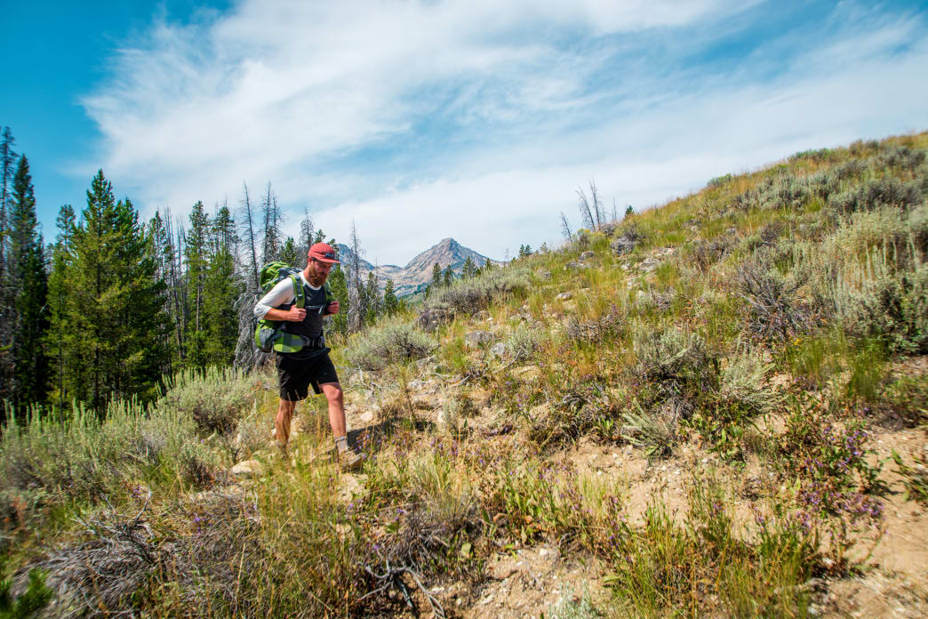
8. Thompson Peak
Miles: 13 miles round trip Difficulty: Moderate to advanced depending on route Directions: Multiple approach options exist for the peak. The Fishhook Creek Trailhead at Redfish Lake is the most common. The trail is roughly 6.5 miles to the peak from this trail. Alternative routes are far more technical and require navigational experience.
The highest peak in the Sawtooths, Thompson sits at 10,751 feet and the trail has 4,200 feet of elevation gain. Hike just under 1 mile and take the split for Marshall Lake (signed). The maps show this split as the Alpine Way Trail. This will lead up a ridge and across the wilderness boundary. Stay left after the boundary and follow the unofficial cairn and log signal toward the peak. You will eventually reach a lake at the base of the peak. From here the route is obvious but is not an official trail. Scramble to the top and look down on the entire Sawtooth Range.
Things to Consider
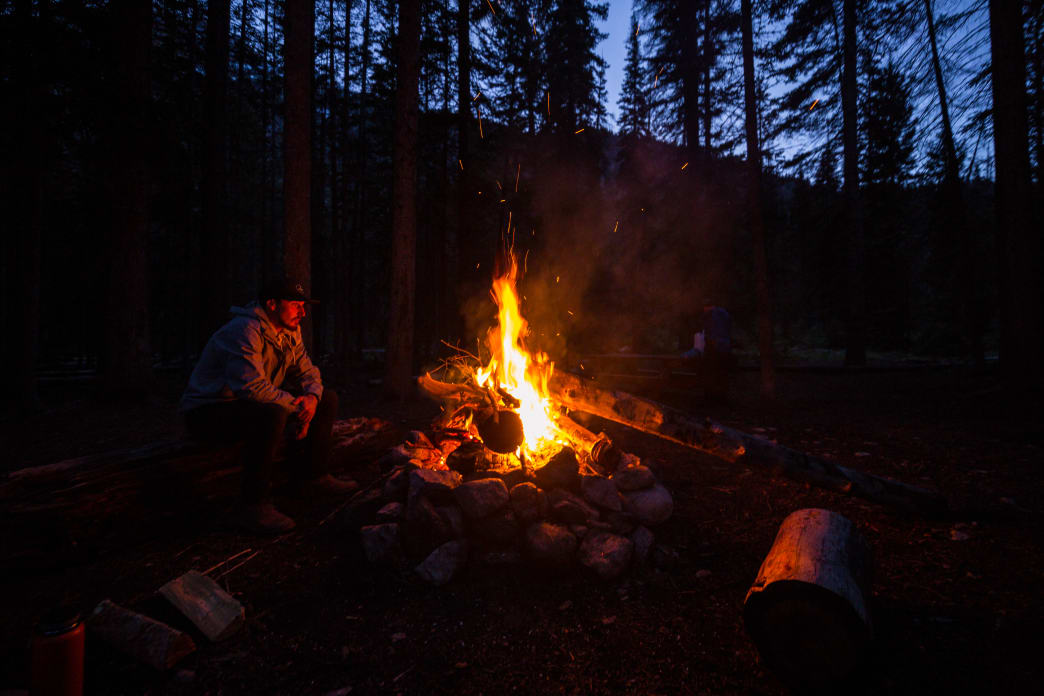
The Sawtooths are a true wilderness and as such, you must prepare for rapidly changing conditions and potential danger in the backcountry. Always dress in layers, carry a medical kit, and bring adequate shelter when backpacking. An emergency satellite beacon is also a great idea for extended trips into the wilderness.
Everyone using the public lands and wilderness also must practice Leave No Trace Ethics. If you pack it in, pack it out. Only use existing fire pits and adhere to fire bans when conditions are dry and dangerous.
Written by Zach Lazzari for RootsRated Media in partnership with Stanley Sawtooth CoC.