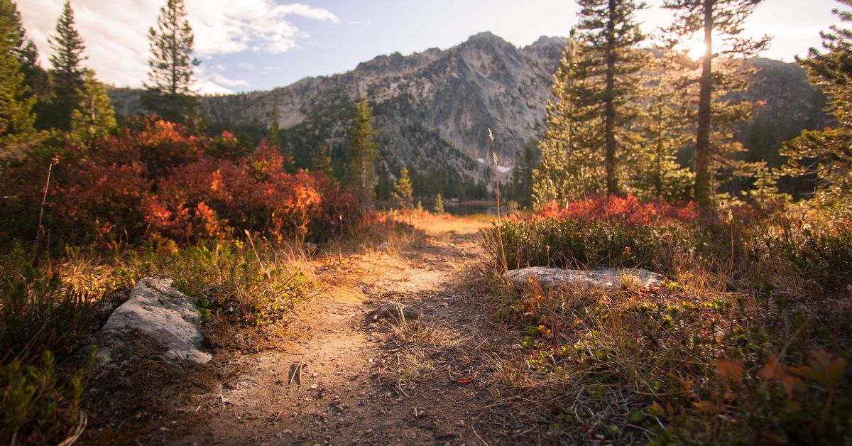
Frank Church: River of No Return Wilderness
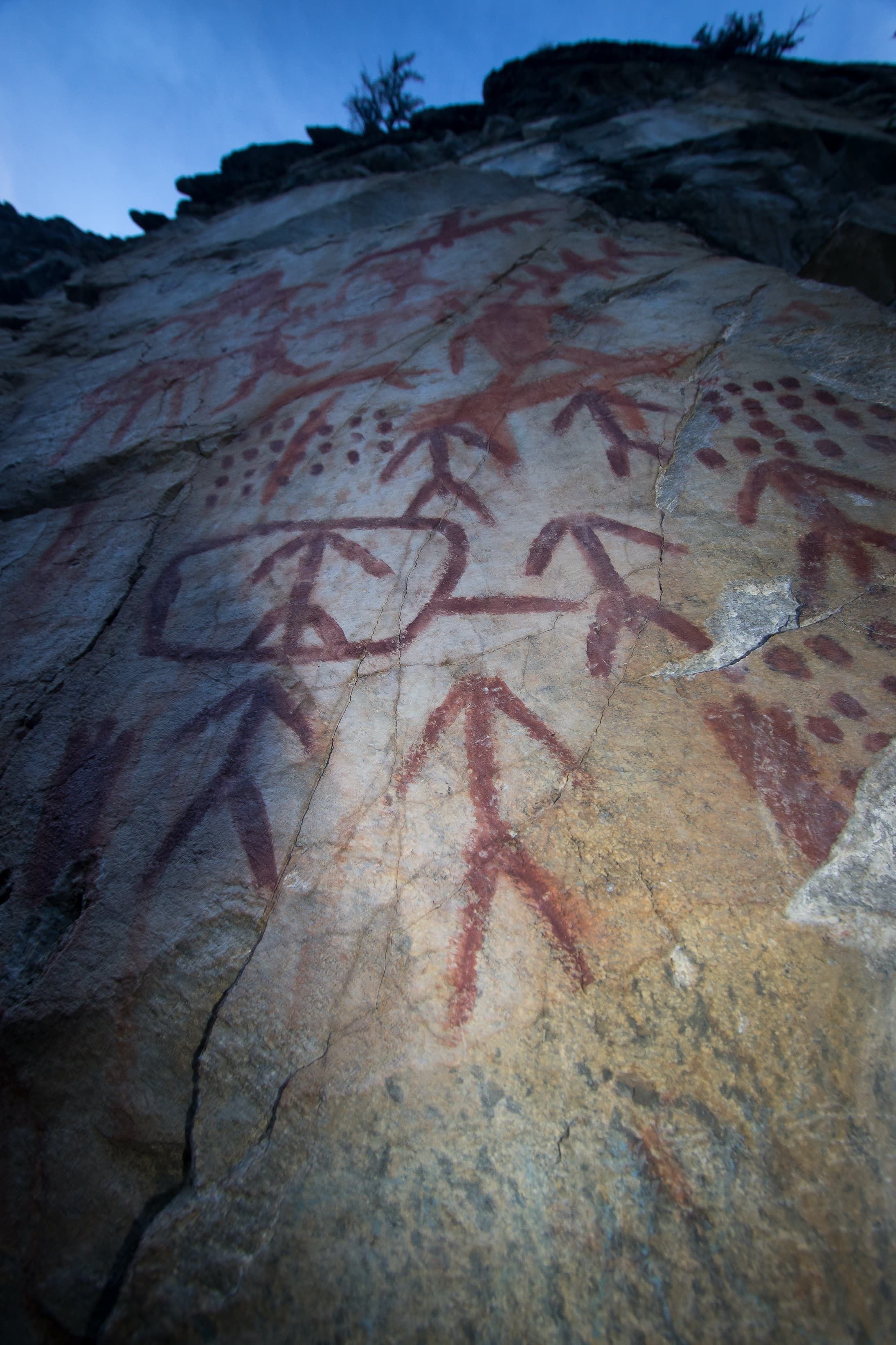
When most people think of Stanley, the serrated skyline of the Sawtooth Mountains come to mind, but this small mountain town has much more to offer the adventure seeker. Just to the North of Stanley, lays the largest contiguous wilderness area in the US, outside of Alaska. The 2,366,757-acre Frank Church: River of No Return Wilderness, was congressionally declared and protected under the Wilderness Act in 1980. The area occupies more acreage than the State of Delaware, spans across 5 counties and is home to a variety of ecosystems. The wilderness is typified by the rugged mountain peaks, like that of the Bighorn Crags and The Salmon River mountains, down to the steep rugged canyons carved out by streams and rivers. Ancient relics, from miner's tools to the Sheepeater pictographs remain, reminding us of time since past.
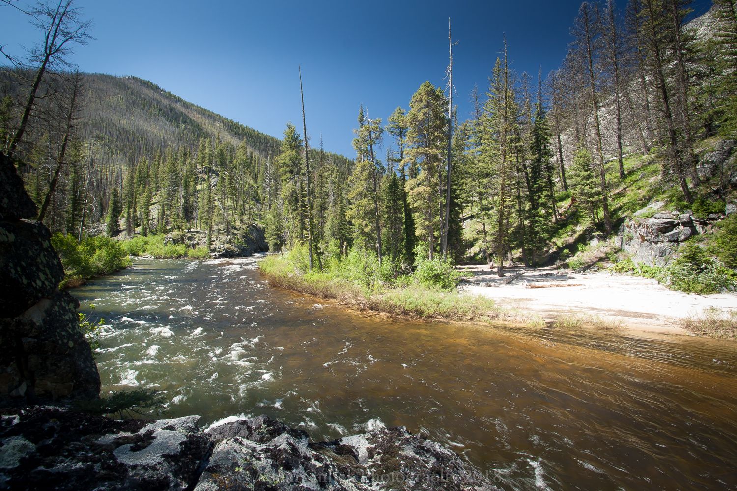
Through the heart of the wilderness, cuts the famed Middle Fork of the Salmon River. All 104 miles of its waters flow within the wilderness boundary. Every summer, people from around the country and the world, arrive in Stanley, ready to challenge the untamed river. It all begins 25 miles northwest of Stanley, at a little place called "Big Hole." Here, two creeks become one river. Bear Valley Creek flows from the camas meadows, eastbound, where it meets the cold mountain waters of Marsh Creek. Where these to streams collide and mingle the Middle Fork of the Salmon is born. This dark abyss aptly named "Big Hole," is 10 miles upriver from the boat launch at boundary creek. Few people visit this portion of the river. Experiencing it by boat is challenging and potentially deadly, to even the most experienced boaters. Fortunately, for the novice and the fair-weather traveler, a hiking trail follows the river and can be enjoyed as early as May, even when the high country is still blanketed in snow. The trail is approximately 15 miles from the top, at Fir Creek, to Dagger Falls and makes for a great early summer backpack. A friend and I did just that...
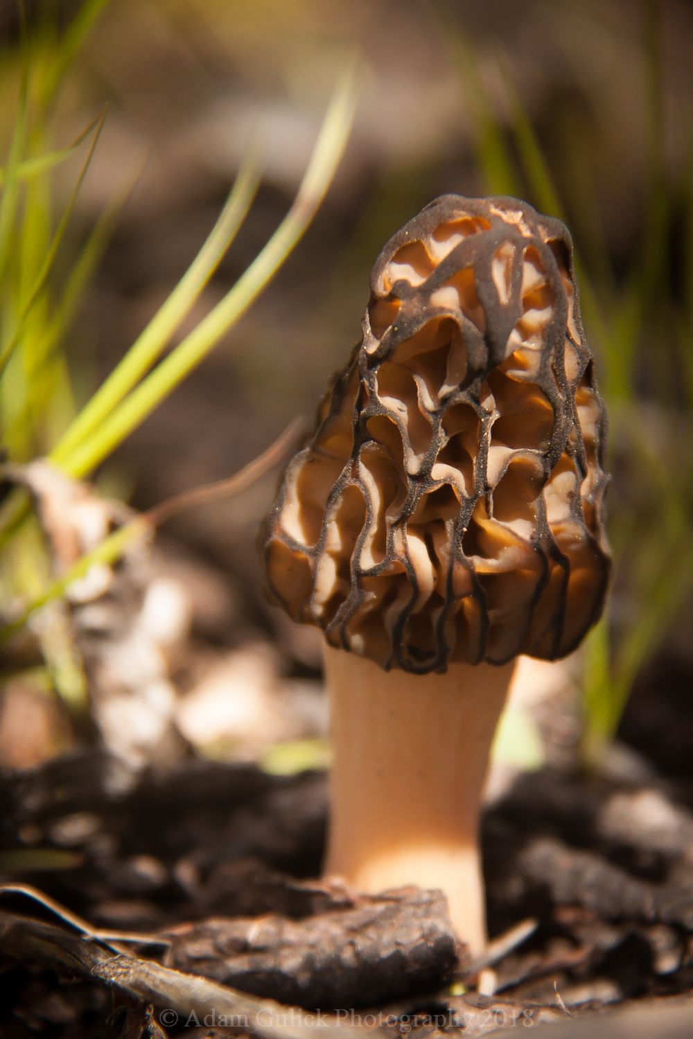
We set out in the afternoon, through the charred timber, standing skeletal remnants of a forest ravaged by fire. Our eyes turned down, scanning the forest floor. The elusive morel mushrooms often make their presence in the spring from the scorched and disturbed earth; fruits of fire and rain. We spotted our first one, as our packs dropped to the dusty ground. We began poking our heads in every nook and cranny of the forest floor. Under logs, nested in clumps of grass, sometimes hiding in plain sight, we managed to harvest enough for dinner; enough to liven up our freeze-dried dinners anyway. We continued on. The trail was adorned with gardens of Idaho Blue Bells, Heartleaf Arnica, and Western Columbine. The water is clear and visibly cold as we crossed the bridge at around 1.5 miles. The trail continues along the opposite side of the river, leaving the burnt timber behind. We now move through fir and spruce clinging to the steep canyon walls. Approximately 5 miles in, we reached our camp at the Big Hole. After camp was established, we enjoyed our bounty of morels and settled into camp for the night.
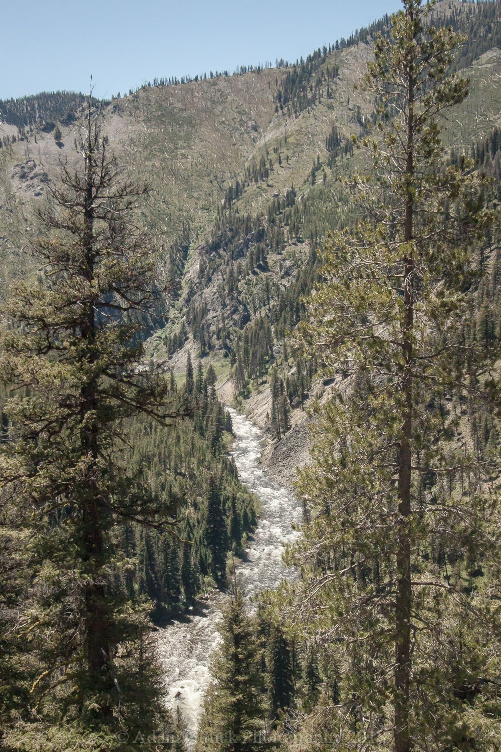
We awoke late the next morning, hypnotized by the rushing river. The sky was blue, the birds were singing, and the day was in front of us. We broke camp in anticipation of the unexplored territory downstream. The trail posed a few more challenges below Big Hole, having all but disappeared in spots where the river slowly chewed away the river bank. Downed trees were more frequent and we soon found ourselves thigh deep in the river. The trail had disappeared into the swift and unforgiving river (Note: this may be impassible during high water.) We rounded a couple bends as the river began to drop more rapidly. Unaware of our elevation gain, we found ourselves looking down on the river snaking through the canyon below. After a short lunch break, we descended into a flat, wide valley where Fall Creek, the biggest tributary below Big Hole, dumped into the river. An old burn, where lodge pole saplings thickly covered the ground, our plans of finding a place to camp was pushed further down stream to a bench set above the river at Chicken Creek.
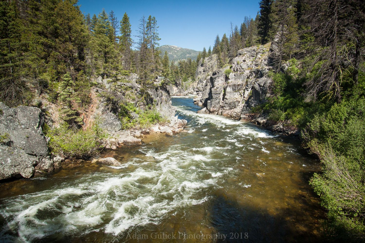
The next morning, we hiked the remaining couple of miles to our destination, the trailhead at Dagger falls. A bridge crosses high above the river just above the Falls. The Falls are worth a closer look, particularly in high water and when the Salmon are making their journey up the cascading water. Our adventure behind us, we headed back to Stanley stopping for pizza at Papa Brunees. We reminisced and plotted our next adventure.
Blog and photography by Adam Gulick