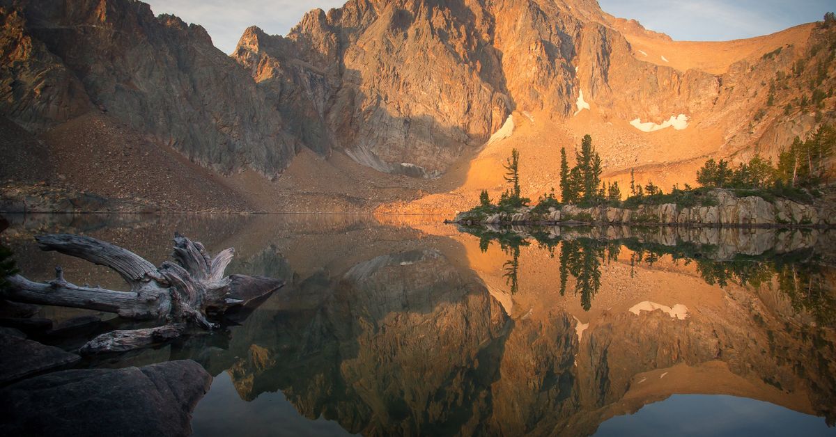
A Backpacker's Dream: Whitecloud Wilderness Loop
Stanley is the central hub of adventure seekers looking to experience the best of the state of Idaho. Millions of acres of wilderness, untamed rivers, rugged mountains, and thousands of miles of trails, expand in every direction. It can be overwhelming for those of us who long to see it all, and in reality, even a lifetime is too short to take it all in.
We all have those special hikes, the ones we remember for a lifetime. The ones that change us. That trail found me in the fall of 2012. It was my first visit to Stanley and a backpacking trip that eventually drew me to the area I now call home. I've revisited that same trail many times since. If your planning your next adventure, consider this 28-mile loop through the White Cloud Wilderness.
Getting there: From the Junction of highway 75 and 21, drive 15 miles south on highway 75 to 4th of July Creek road. Turn left and follow the dusty washboard road, through the Aspen groves and into the scarred landscape of the 2005 fire. The main road ends at 10 miles, where the trail begins.
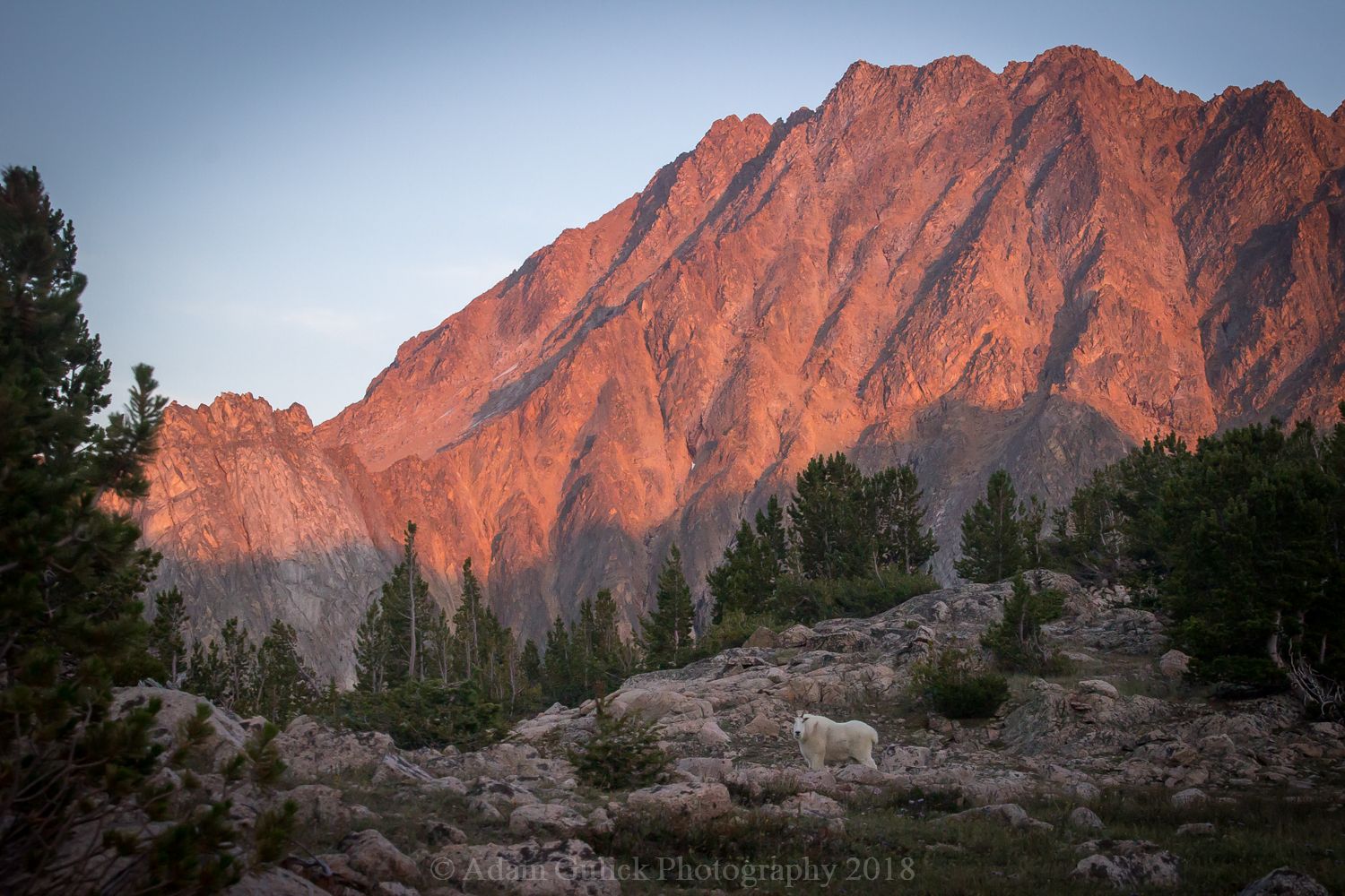
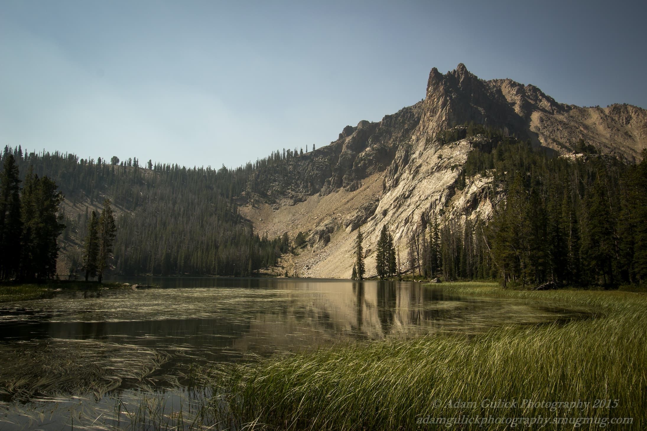
The Route: Being a loop trail, one can hike it either direction. For the sake of this description, we will follow the trail counterclockwise. The loop officially starts at 1.5 miles, where the trail forks. Turn left to Ants Basin. Leaving the junction, the trail climbs to the top of the divide separating 4th of July Creek and the headwaters of Warm Springs Creek. Ants Basin is a wide bowl carved from an ancient glacier. The basin is carpeted with lush meadows, patches of fir, spruce, whitebark pine and is home to the Born Lakes. Looking across the basin, David O' Lee stands stoic, white-faced, reminding us of why these peaks are aptly named "The White Clouds." The trail continues, dropping from the divide and heads east. Four miles from the trailhead, you will have arrived at the Born Lakes. This is where route finding and mountaineering experience are a necessity. Some cross the divide via the Devil's Staircase, which leads more directly to the Boulder Chain Lakes, but for those who want to visit Four lakes Basin and Quiet Lake there is a scramble to the right, that tops out on a plateau and descends steeply into Four Lakes Basin. Warning: This portion of the route is potentially dangerous. Inexperienced hikers can access the lake basins mentioned in this description via the East Fork of the Salmon River.
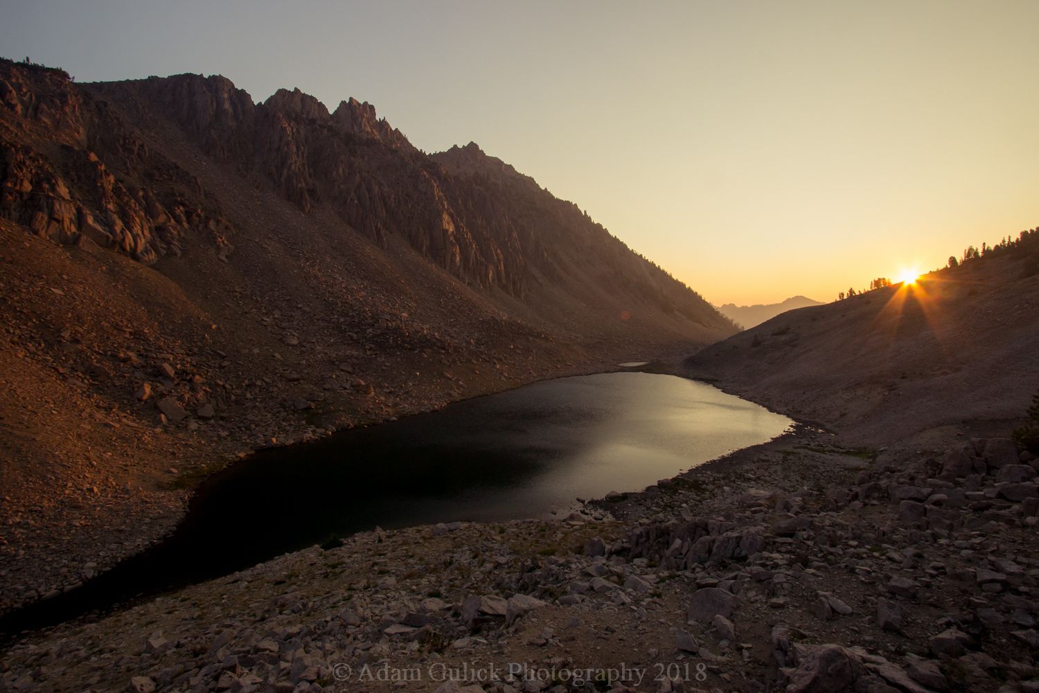
Four Lakes Basin is tucked away on the north face of the mountain at around 10,000 feet. Little vegetation grows in the rocky, sun-deprived landscape. For more suitable camping, follow the outlet stream 0.8 miles to Quiet Lake. This is one of the largest lakes in the wilderness. Stocked full of cutthroat trout, it is an anglers paradise. Shortly beyond the outlet of Quiet Lake, a primitive trail heads up the North branch of Slickenside creek, passing by Scree and Shallow Lakes. Angle right between the two lakes and begin climbing towards the pass, known as the Windy Devil. The Boulder Chain Lakes reveal themselves from the top of the pass, where an established trail zigzags down the mountain to Scoop Lake.
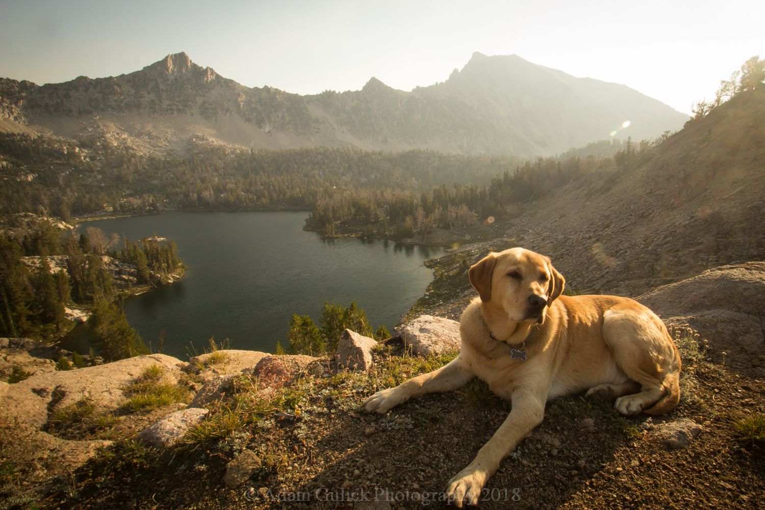
The Boulder Chain is comprised of 13 lakes. At the top, Lonesome lake sits at 10,465 feet. All the lakes offer great camping and fishing. Approximately 4 miles from the top of The Windy Devil, you'll arrive at Willow Lake, the lowest of the Boulder Chain and a trail junction, turn right. The trail to the left leads to Frog Lake (which is well worth a side trip.) At 8700 feet, the trail turns southeast for 1.3 miles to the junction with the Little Boulder Creek trail. Little Boulder Creek flows into the East Fork of the Salmon 6.5 miles down the canyon.
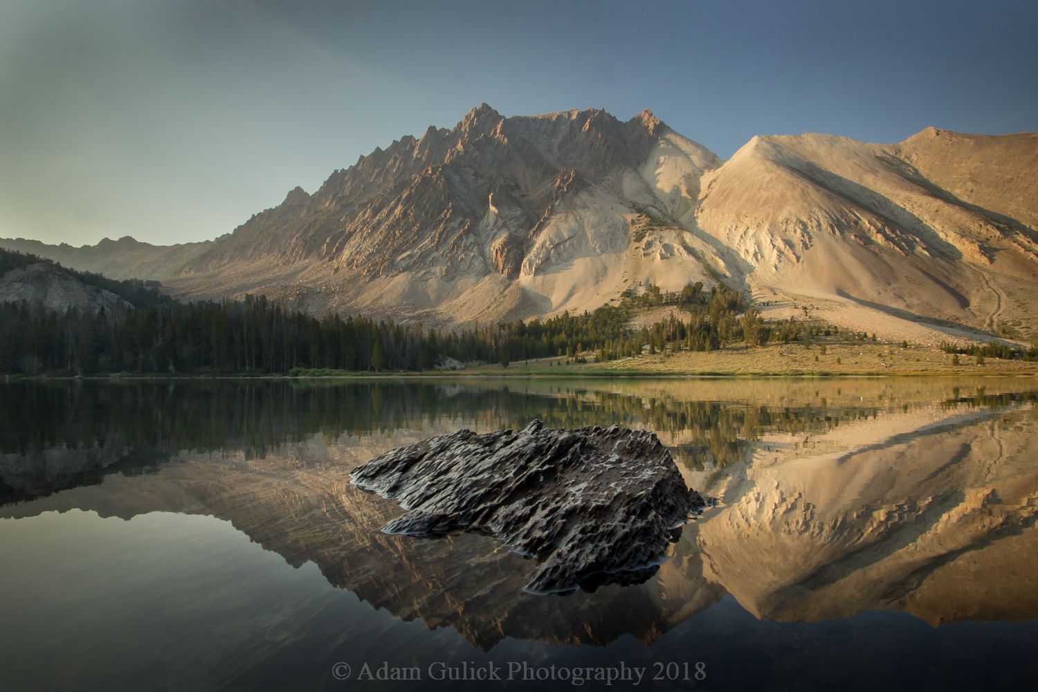
Heading southwest now, follow Little Boulder Creek, upstream, climbing towards the Castle Divide. At around 2 miles, Castle Peak makes its presence. The white sloped behemoth dominates the landscape. Standing at 11,815 feet, it is the tallest in the range and the 6th tallest in Idaho. There is truly no mountain like it. Gaining elevation, the trail opens up as you arrive at a large basin at the base of Castle Peak. From here, the trail switchbacks up and over the 10,000 ft. pass, known as the Castle Divide. Before you begin the ascent, look to the west. You'll notice a trail cutting across the white shale. This is the trail to Castle Lake, a common route to the summit and a breathtaking view of the mountain. I recommend a visit.
From the top of the Castle Divide, the Boulder Mountains unfold to the north. The view is spectacular. From here, the trail descends 800 feet over 2 miles into Chamberlain Basin. The basin is home to a series of lakes strung across the foot of Castle Peak. This is arguably one of the prettiest places in the state and a difficult place to leave behind. If time allows, two nights would provide an opportunity to soak it all in.
Leaving Chamberlain Basin, the trail crosses another divide into the Washington Creek drainage. At approx. 3.2 miles from the lower Chamberlain Lake, the trail forks. Hang right, headed Northwest up Washington Lake creek. The trail gradually climbs for 2.5 miles, offering views of the rugged peak to the south, before you reach Washington lake. At the west end of the lake, the trail climbs a couple hundred feet before it passes back into of 4th of July Creek. 4th of July Lake and the end of the loop is a little over a mile from Washington Lake.
If your planning your next adventure, consider this 28-mile loop through the White Cloud Wilderness. Know your abilities, study maps and research before your trip and prepare for the elements. Any last-minute needs can be picked up at one of Stanley's local retailers, like RiverWear . Grab your pack, lace up your boots, and check out this Idaho gem.
Blog and photography by Adam Gulick