Spring Hiking: Salmon River Country
Spring is an exciting time of the year to hit the trails. It might be the cure from cabin fever, the new life emerging from the earth, or possibly the pioneer spirit evoked with being the first to lay eyes on the newly transformed landscape. Though the mountains call out, living at 6500 feet poses a challenge, as the majority of trails close to home are still buried beneath feet of snow. I’ve done my fair share of post-holing my way into the high country, but after a Stanley winter, dirt is as valuable as gold. Once the snow is gone from my backyard, my boots wait anxiously by the door. The Sawtooths will have to thaw a bit more, so I look to the Salmon River country.
Every spring, I take my readers on a hike into some trails that open early. This spring, I opted for an overnight loop trail. This isn’t technically a loop, but rather a point-to-point horseshoe with a short shuttle, so two vehicles or a thumb in the air are required. The trail is multi-use, open to hiking, horseback, bikes, and motorbikes.
The route can be traveled in either direction. For the sake of this description, we will begin at Gardner Creek and end at Burnt Creek. Parking for Gardner Creek is at the Snyder Springs picnic area approx. 19 miles downriver from Stanley. Burnt Creek is another mile downriver. There is a long pull-off on the side of the highway just before the boat ramp off the eastbound lane.
The beginning of the trail is rather obscure, but head up to the left of the picnic area and then head right toward the fence line on the edge of the property at the bottom of Gardner Creek. The trail heads right at the corner of the fence dropping down to the creek just upstream of the private property. From here, the trail gradually climbs the creek bottom for roughly 3 miles through intermittent sagebrush, bitterbrush, and old-growth douglas fir. Skeletal remains litter the sides of the trails, evidence of winter’s peril. An abundance of wolf scat sheds a little more light on the story. At around 3 miles the trail breaks to the right, up an open finger ridge before cutting northeast, meeting a junction. The trail here is a little ambiguous, but so long as you continue up you will run into the trail cutting across the top.
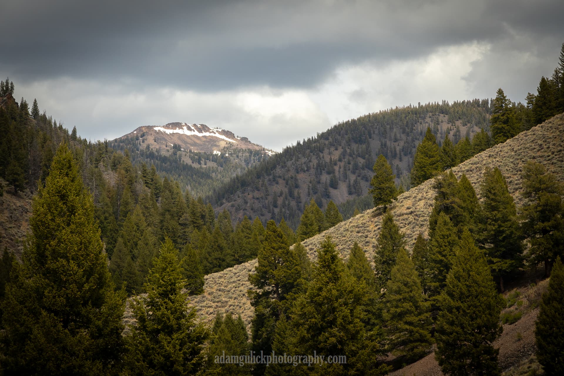
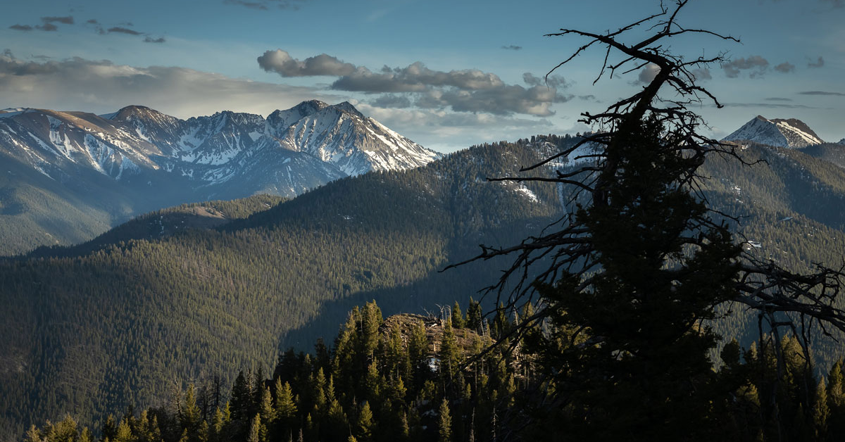
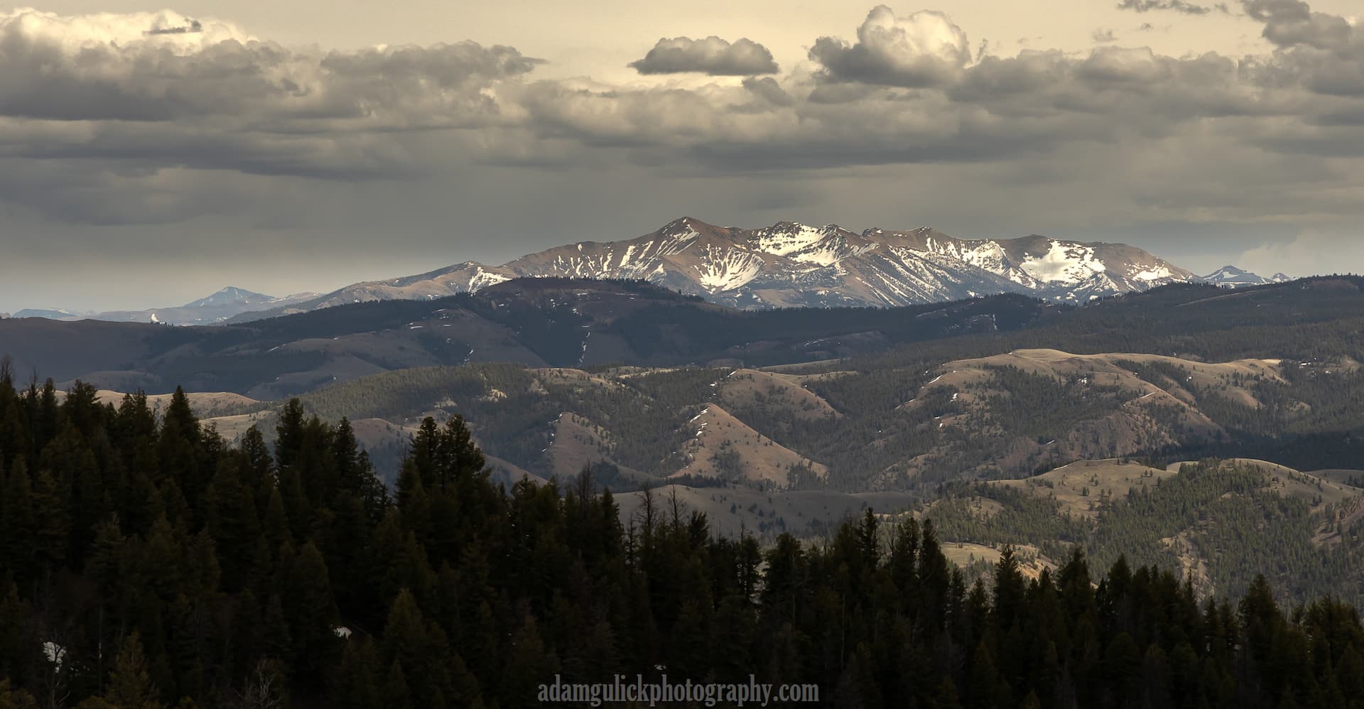
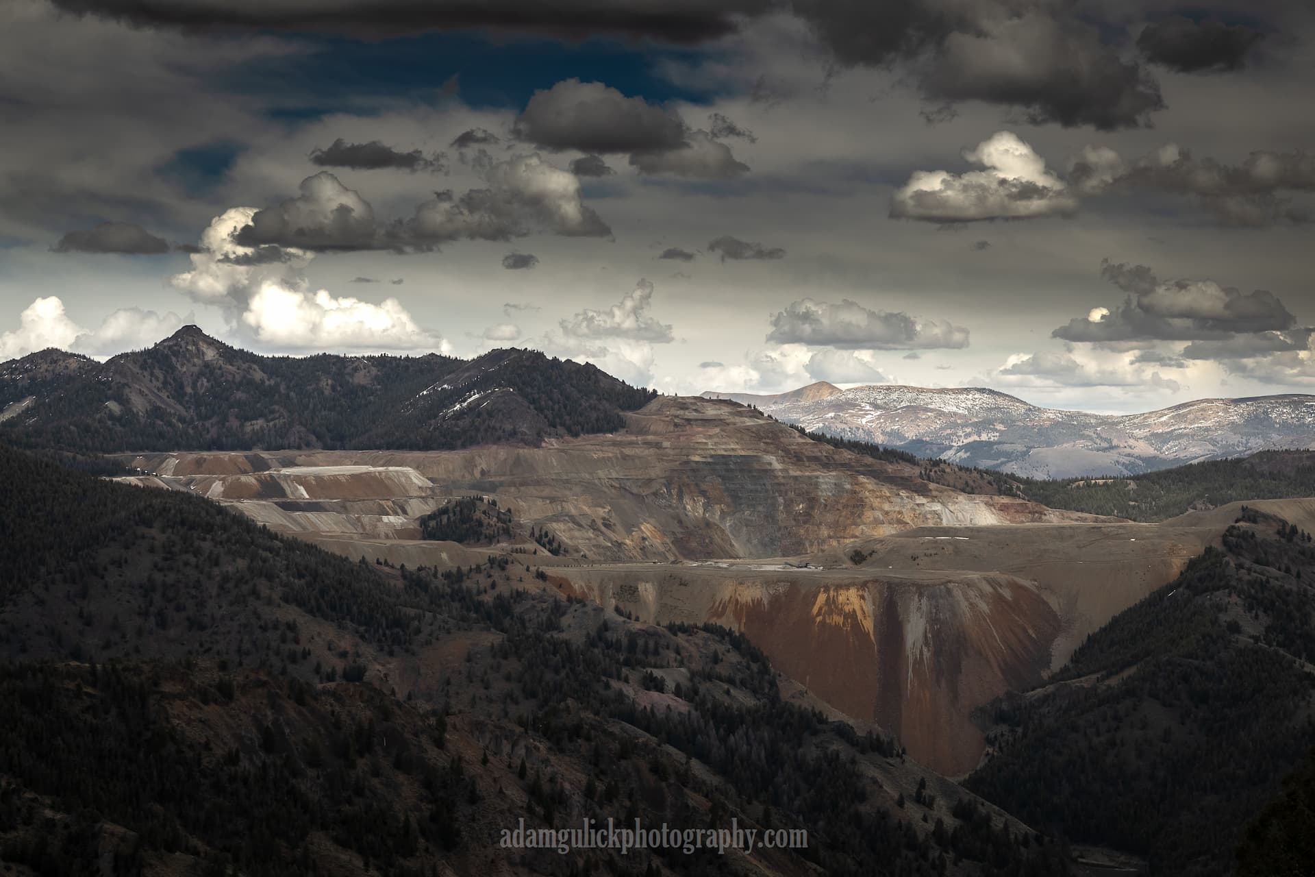
At this point, the trail tops out on the ridge that divides the Salmon River and Thompson Creek. From here, the views begin to open up, revealing the White Clouds to the south and the Salmon River Mountains to the west and north. A long unnamed hogback can be seen just northeast of the junction and Thompson Creek mine across the adjacent canyon.
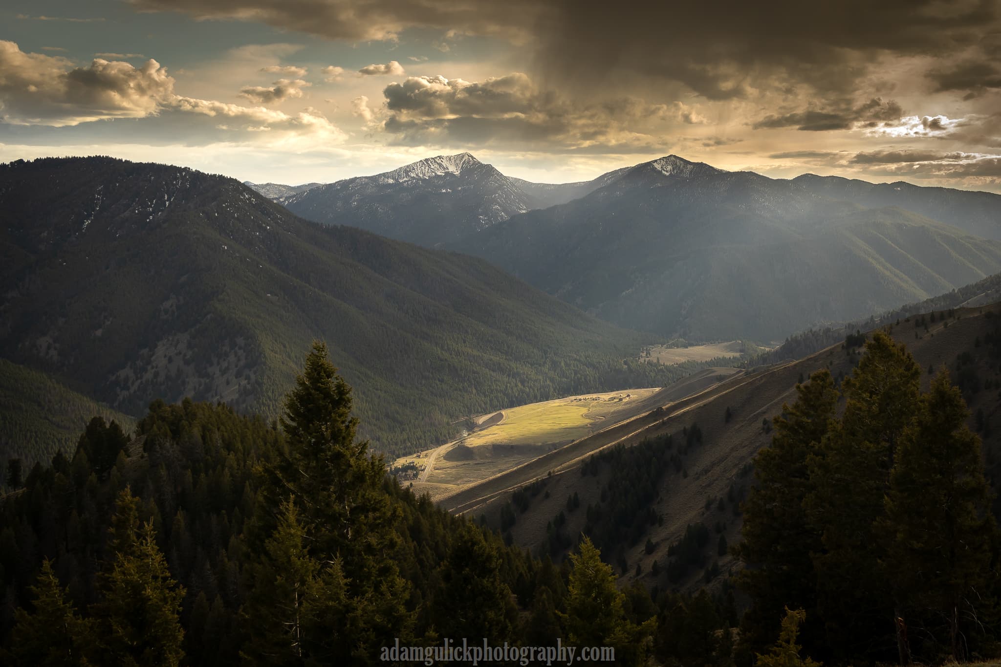
The trail to the left continues another 2-3 miles before it joins with a network of trails leading anywhere from the Yankee Fork of the Salmon to Squaw Creek and beyond, providing plenty of opportunities for a longer trek. Burnt Creek trail is to the right. Follow this trail as it skirts beneath the ridge holding steady elevation for another 1.75 miles where the trail saddles over into the top of Burnt Creek.
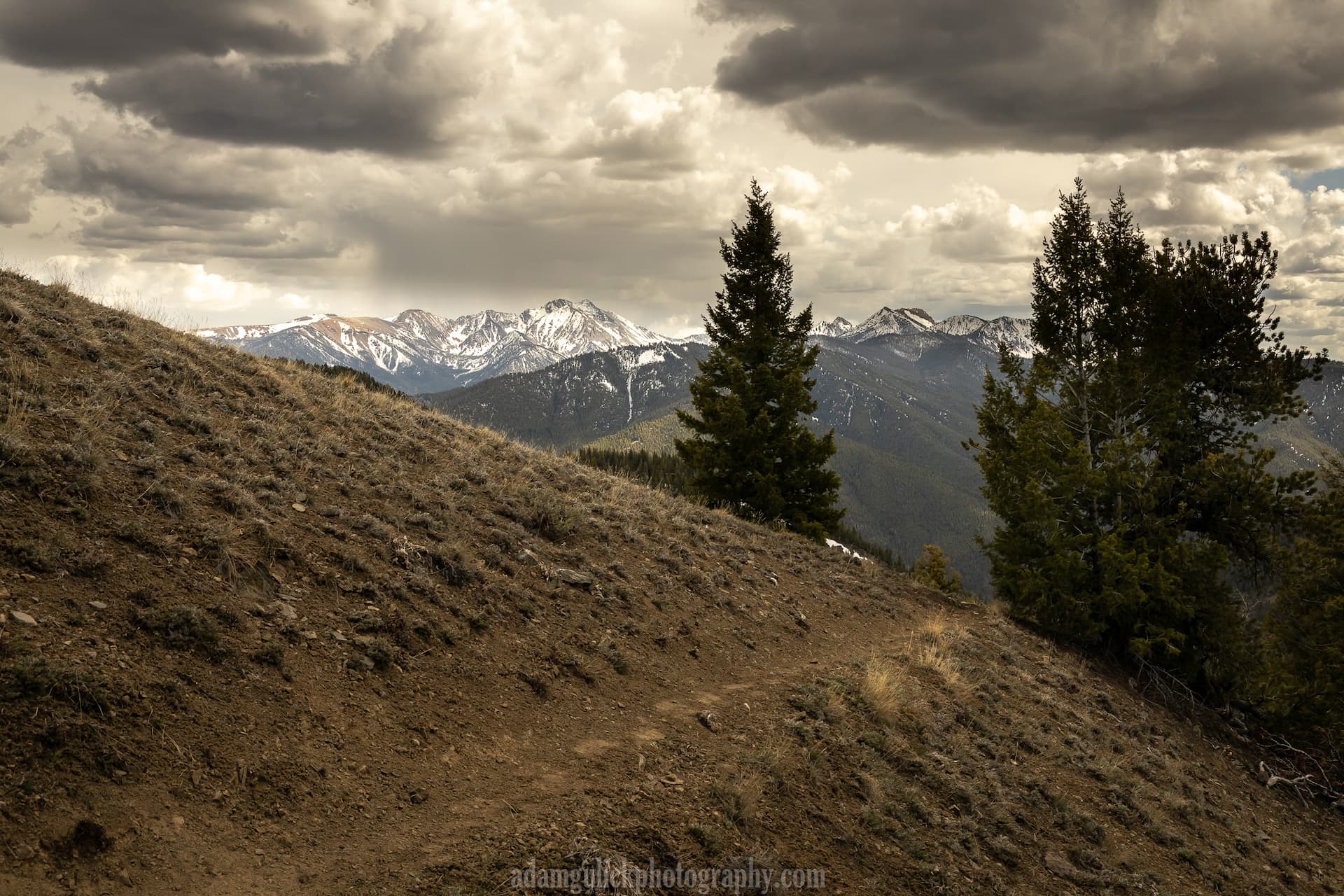
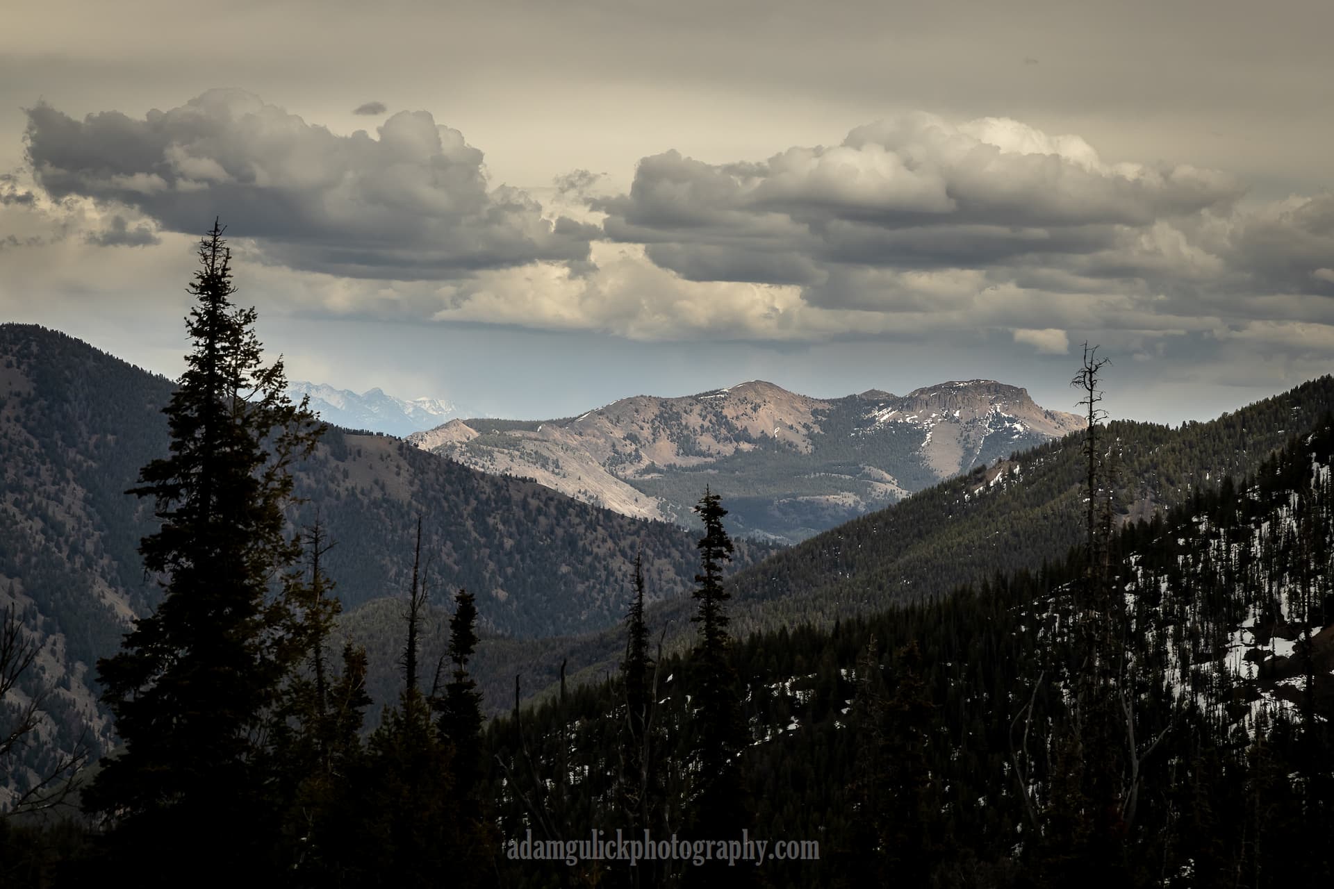
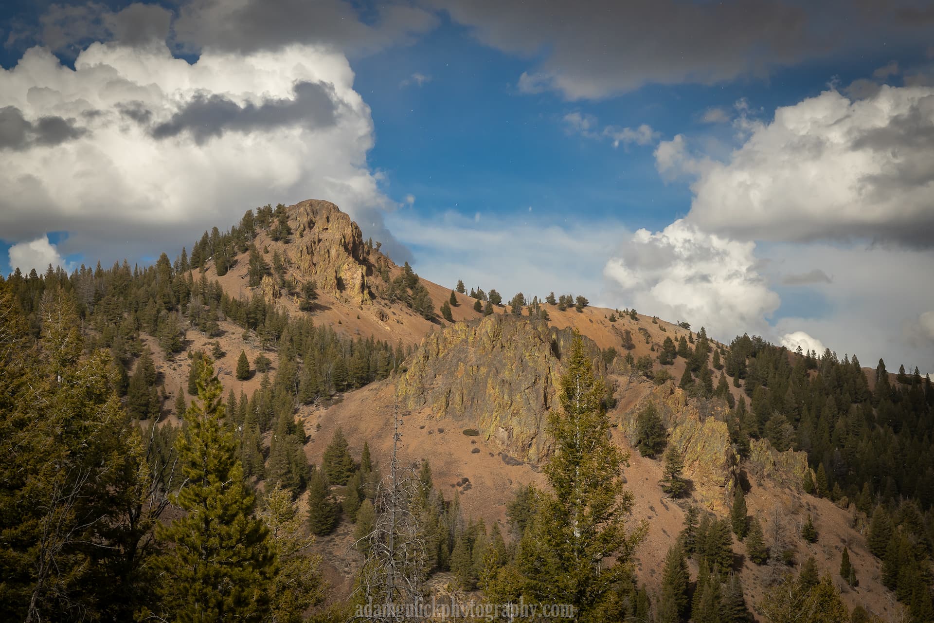
Snow still lingered in spots on the 15th of May. On bigger snow years the trail might still be buried at this point. I opted to camp at the saddle as snow would provide plenty of water and a craggy peak glowing orange beaconed me to it’s summit. From the top more mountains became visible from the Sawtooths to the Lost River range.
Leaving the saddle, the trail quickly drops through the forest for about a half-mile to a spring where Burnt Creek is born. At the spring an unmarked trail cuts to the left. Burnt Creek trail continues to the right, following the bottom for another 3.5 miles, dropping a little more dramatically and seemingly rockier than the Gardner Creek trail. After following Burnt Creek down, the trail ends to the east side of private property just down the road from Torrey’s Burnt Creek I nn.
Don’t let cabin fever linger any longer than necessary! Memorial Day weekend is right around the corner and there are plenty of options for springtime hiking in Stanley! Check out these early season favorites as well!
https://stanleycc.org/blog/posts/sullivanlake
https://stanleycc.org/blog/posts/frank-church
Blog and photography by Adam Gulick